GIS & REMOTE SENSING

🌍 Groundwater-Based Projects Utilizing GIS Analysis

At SpaceTree Dynamics, we harness the power of GIS (Geographic Information Systems) and Remote Sensing to deliver advanced groundwater solutions that help protect, manage, and optimize one of our planet’s most vital resources β€” groundwater.

Innovative Applications in Water Resource Management

Our services are designed for government agencies, environmental planners, farmers, NGOs, and water utilities seeking actionable insights and data-driven decisions.

πŸ” Key Groundwater GIS Applications

  • Objective: Identify areas at high risk of contamination or overuse.

  • Method: Implement GIS-based DRASTIC and GOD models.

  • Use Cases:

    • Recognizing pollution-prone zones

    • Framing land-use policies to protect aquifers

  • Benefits:

    • Prevents contamination of aquifers

    • Promotes proactive conservation

  • Objective: Identify ideal zones for artificial recharge methods.

  • Method: GIS overlay analysis incorporating soil, slope, land use, infiltration, and drainage.

  • Use Cases:

    • Locating sites for check dams, percolation tanks, recharge wells

    • Planning long-term aquifer recharge projects

  • Benefits:

    • Enhances water availability

    • Reduces seasonal water scarcity

  • Objective: Evaluate contamination levels of groundwater.

  • Method: Spatial interpolation using techniques like Kriging and IDW on data like pH, TDS, nitrates, and heavy metals.

  • Use Cases:

    • Detecting pollution hotspots

    • Maintaining safe drinking water standards

  • Benefits:

    • Protects community health

    • Enables targeted pollution control

  • Objective: Track temporal changes in groundwater levels.

  • Method: Integration of field data, satellite imagery, and monitoring records using GIS.

  • Use Cases:

    • Identifying over-exploited areas

    • Informing sustainable water use policies

  • Benefits:

    • Prevents over-extraction

    • Ensures aquifer sustainability

  • Objective: Protect coastal aquifers from saltwater intrusion.

  • Method: GIS-based salinity mapping and flow modeling.

  • Use Cases:

    • Monitoring vulnerable coastal zones

    • Planning intrusion control infrastructure

  • Benefits:

    • Safeguards freshwater in coastal regions

    • Supports long-term sustainability

  • Objective: Formulate optimal groundwater utilization strategies.

  • Method: GIS-based spatial analysis incorporating recharge, demand, and abstraction data.

  • Use Cases:

    • Balancing demand and supply

    • Supporting agriculture and urban development

  • Benefits:

    • Promotes efficient use

    • Ensures water security

  • Objective: Identify high-potential borewell drilling sites.

  • Method: Remote sensing + GIS-based weighted overlay of geological and hydrological parameters.

  • Use Cases:

    • Increasing borewell success rates

    • Reducing exploration costs

  • Benefits:

    • Efficient water access

    • Minimizes borewell failure

  • Objective: Educate and engage communities on water conservation.

  • Method: GIS-enabled tools like interactive maps, mobile apps, and awareness campaigns.

  • Use Cases:

    • School and university programs

    • NGO-led water awareness drives

  • Benefits:

    • Encourages community participation

    • Strengthens data-backed policymaking

🧭 Applications of GIS in Groundwater Projects

Our expertise in GIS enables a wide range of applications in water resource management:

  • Mapping and drilling site selection

  • Yield estimation and recharge planning

  • Groundwater quality and pollution risk detection

  • Environmental impact assessments

  • Resource monitoring and water-use optimization

  • Policy formulation and data-backed decision-making

πŸ‘₯ End Users & Their Benefits
Government Agencies

Enables policy decisions and national water planning.

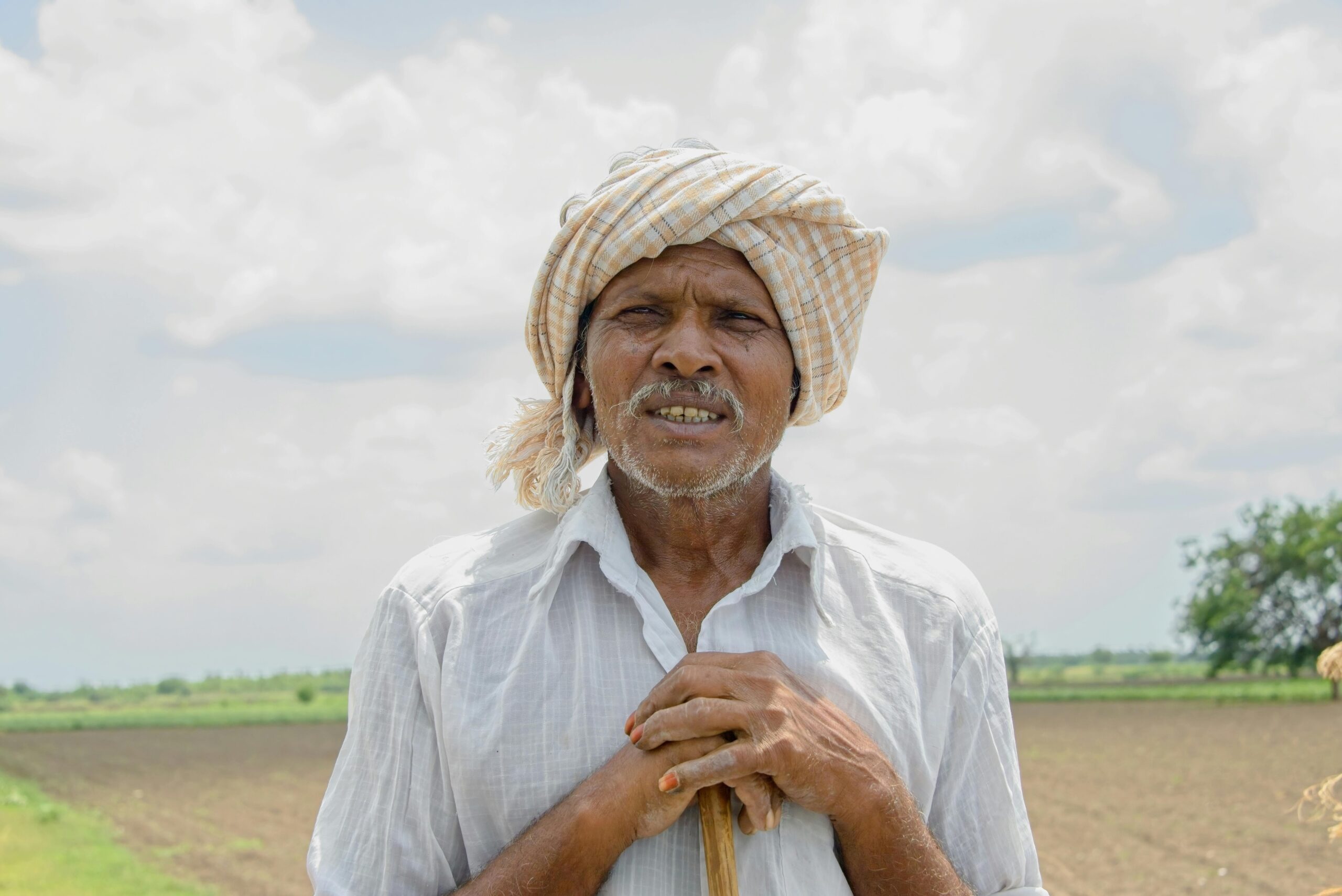
Farmers & Agricultural Sector

Improves irrigation planning and groundwater access

Urban Planners & Municipalities

Manages extraction and urban water usage

Environmental Agencies

Supports groundwater protection and sustainable development goals (SDGs)

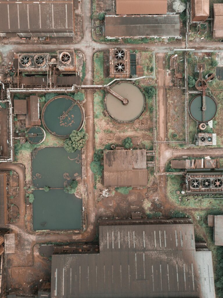
Industries & Water Utilities

Secures long-term water availability for operations

Research Institutions

Facilitates modeling, studies, and scientific analysis

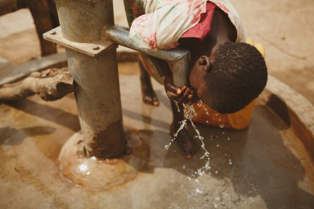
NGOs & Community Groups

Empowers grassroots action and conservation initiatives

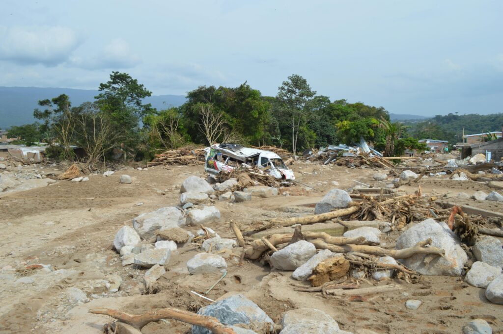
Disaster Management Authorities

Helps in drought risk assessment, early warning, and mitigation planning

Disaster Management Using Remote Sensing & GIS

Predict, Prepare, Protect

Disasters, whether natural or man-made, demand rapid response and accurate information. Remote Sensing (RS) and Geographic Information Systems (GIS) have become critical tools in disaster preparedness, mitigation, response, and recovery. With the ability to monitor vast areas in real-time and analyze spatial patterns, these technologies help save lives and minimize losses.

  • Objective: Identify flood-prone areas and monitor real-time flood extents.

  • Methodology: Use satellite imagery (e.g., Sentinel, MODIS) and digital elevation models (DEM) to map flood zones.

  • Applications:

    • Forecasting and alert systems.

    • Real-time flood spread visualization.

    • Planning evacuation routes.

  • End Users: Disaster response teams, municipalities, urban planners.

  • Objective: Predict and map potential landslide zones.

  • Methodology: Integrate slope, land cover, rainfall data, and geological layers in GIS.

  • Applications:

    • Early warning systems for hill regions.

    • Infrastructure planning in sensitive zones.

  • End Users: State disaster management bodies, infrastructure developers, forest departments.

  • Objective: Assess the impact of seismic activity on built environments.

  • Methodology: Compare pre- and post-disaster satellite images to detect structural damage.

  • Applications:

    • Rapid disaster impact analysis.

    • Aid and relief prioritization.

  • End Users: Emergency services, government agencies, insurance firms.

  • Objective: Map storm tracks and wind damage zones.

  • Methodology: Use satellite-based weather data and vegetation indices (NDVI) to assess damage.

  • Applications:

    • Agricultural loss estimation.

    • Restoration planning.

  • End Users: Meteorological departments, agriculture offices, insurance companies.

  • Objective: Identify drought-affected areas and assess severity.

  • Methodology: Analyze time-series satellite imagery to track vegetation stress and water availability.

  • Applications:

    • Agricultural planning.

    • Water resource management.

  • End Users: State agriculture departments, NGOs, relief organizations.

  • Objective: Detect active fire zones and assess fire-prone areas.

  • Methodology: Use thermal remote sensing data and land cover analysis to track and predict wildfire behavior.

  • Applications:

    • Real-time fire detection.

    • Emergency response routing.

  • End Users: Forest departments, fire departments, environmental agencies.

🏑 Real Estate GIS & Digital Solutions

Revolutionizing Real Estate with Maps, Reports, and Virtual Experiences

At SpaceTree Dynamics, we bring innovation to the real estate sector by combining geospatial intelligence, immersive media, and powerful CRM systems. Our tailored solutions empower realtors, builders, and property developers to present, analyze, and manage properties with next-level efficiency.

πŸ“ Interactive Property Maps

  • Visualize. Navigate. Explore.
    We create interactive maps using GIS tools like QGIS, allowing clients and buyers to:

    • Click on property markers to view images, videos, and property info.

    • Use filters and search bars to explore listings easily.

    • Access personalized map links showing only their listings.

    βœ… Supports Excel-based data updates
    βœ… Fast deployment using platforms like Netlify
    βœ… Ideal for large agencies and builder portfolios

πŸ“„ Custom Property Reports

Present Data That Builds Trust
We generate detailed PDF reports for individual properties, including:

  • Satellite imagery of location

  • Risk analysis and GIS overlays

  • Custom branding and styling

Ideal for showcasing property value to customers or investors